
Science · 125 views
Satellite imagery captures the impact of large U.S. dams on river temperatures over the last decade
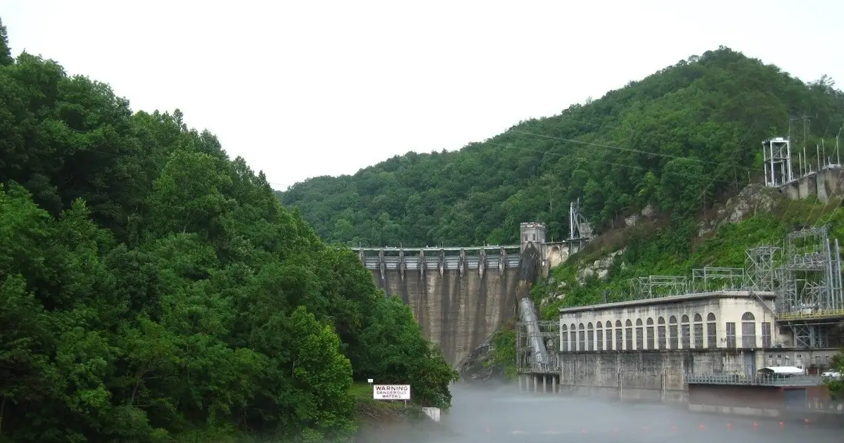
A team of Virginia Tech geoscientists has found a new way to examine the widespread effects of dams on river temperatures: using Landsat thermal infrared imagery to gather data on rivers across the United States.

AI Summary
Researchers have developed a new method to study the impact of large dams on river temperatures across the US. This approach utilizes satellite imagery, specifically Landsat thermal infrared data, to gather information on a broader scale than traditional on-the-ground measurements. The use of satellite imagery allows researchers to collect data from a wider range of rivers, providing a more comprehensive understanding of the effects of dams on river temperatures. This method enables the analysis of a larger dataset, which can lead to more accurate conclusions about the impact of dams on river ecosystems.
AI summaries can be wrong sometimes—always verify important details using the source article.
How AI & Automation are usedMore from Science
Continue reading recent Science coverage
- Sparse-data method estimates sea surface temperatures 40% more accurately than conventional approachContinue reading
- Why does microwaving fish smell so bad?Continue reading
- A New Study Put People on a Low-Plastic Diet. It Changed The Chemicals in Their Urine.Continue reading
- Waterlogged seeds reveal melons' ancient journeyContinue reading
Support HappeningNow
Independent AI-powered news analysis is reader-supported. Your contribution helps cover infrastructure, summaries, and continued platform development.
Support HappeningNow