
Science · 1 views
Tides can be mapped much more locally using a new method based on satellite images
When high or low tide occurs, the water does not necessarily rise and fall uniformly along the entire coastline.

Story Brief
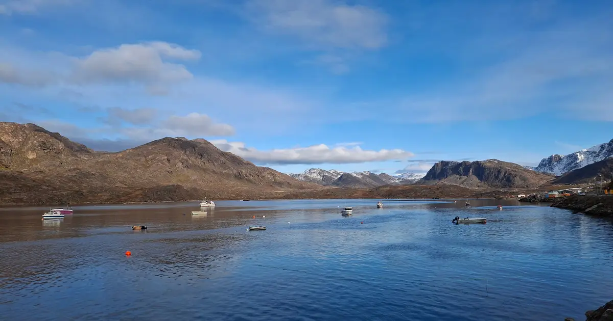
A new method may enable researchers to use satellite imagery to measure water levels precisely. Shown is Kangerluarsunnguaq near Sisimiut in Greenland. Tækker/DTU When high or low tide occurs, the water does not necessarily rise and fall uniformly along the entire coastline. In fact, the height of the tide in a bay can vary by up to one meter (3 feet) from one location to another just a few kilometers away.
Read full article on PHYSAI summaries can be wrong sometimes—always verify important details using the source article.
How AI & Automation are usedMore from Science
Continue reading recent Science coverage
- Online Marketplaces Increasingly Endanger Biodiversity, Study FindsContinue reading
- As super El Nino strengthens, study suggests that climate change is intensifying El NinosContinue reading
- Infection kills gut cells, while diet reshapes existing ones, fruit fly study findsContinue reading
- Tropical Storm Karina strengthens into a hurricane in the Pacific, could be a major storm this weekContinue reading
Support HappeningNow
Independent AI-powered news analysis is reader-supported. Your contribution helps cover infrastructure, summaries, and continued platform development.
Support HappeningNow