
Weather & Disasters · 1 views
SPC MD 2164
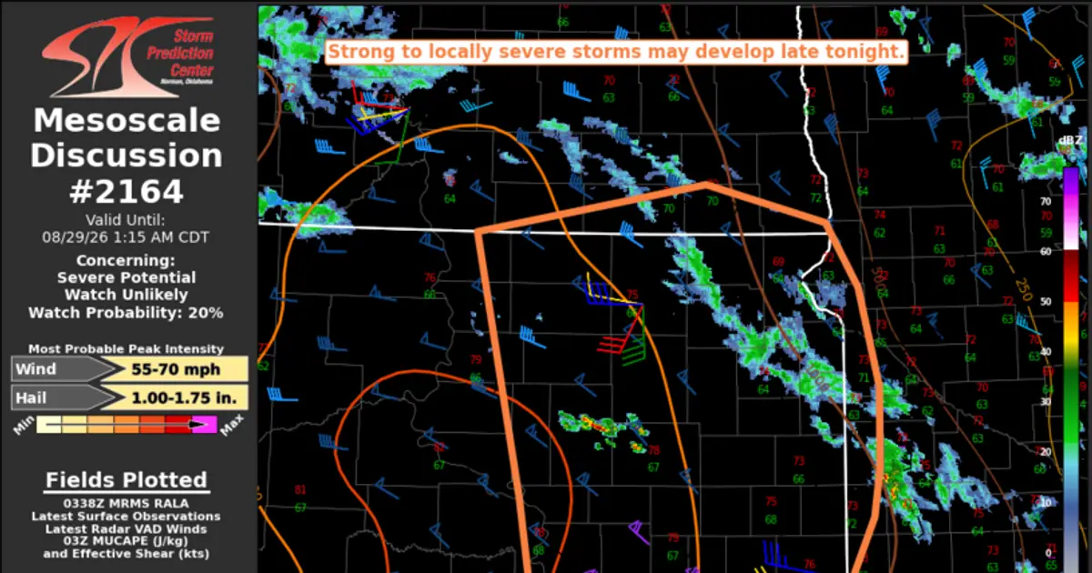
MD 2164 CONCERNING SEVERE POTENTIAL...WATCH UNLIKELY FOR PARTS OF CENTRAL/EASTERN SD INTO FAR SOUTHEAST ND/SOUTHWEST MN Mesoscale Discussion 2164 NWS Storm Prediction Center Norman OK 1041 PM CDT Fri Aug 28 2026 Areas affected...Parts of…

AI Summary
The Storm Prediction Center issued Mesoscale Discussion 2164 indicating severe weather potential across parts of central and eastern South Dakota, extending into far southeast North Dakota and southwest Minnesota, but stated that a watch is unlikely for the area.
Read full article on SPCAI summaries can be wrong sometimes—always verify important details using the source article.
How AI & Automation are usedMore from Weather & Disasters
Continue reading recent Weather & Disasters coverage
- There are no tropical cyclones at this time.Continue reading
- Severe Thunderstorm Warning issued August 29 at 12:00AM CDT until August 29 at 12:15AM CDT by NWS Aberdeen SDContinue reading
- Special Weather Statement issued August 28 at 11:56PM CDT by NWS Aberdeen SDContinue reading
- Small Craft Advisory issued August 29 at 12:13AM EDT until August 29 at 9:00AM EDT by NWS Baltimore MD/Washington DCContinue reading
Support HappeningNow
Independent AI-powered news analysis is reader-supported. Your contribution helps cover infrastructure, summaries, and continued platform development.
Support HappeningNow