
Science · 32 views
Satellite images show bedrock and glacier collapsed on Nepal-China border, then rivers flooded
As rescue teams searched for missing people following catastrophic flooding along the Nepal-China border, Earth scientists reviewed satellite imagery for clues to the cause and assessed the devastation.
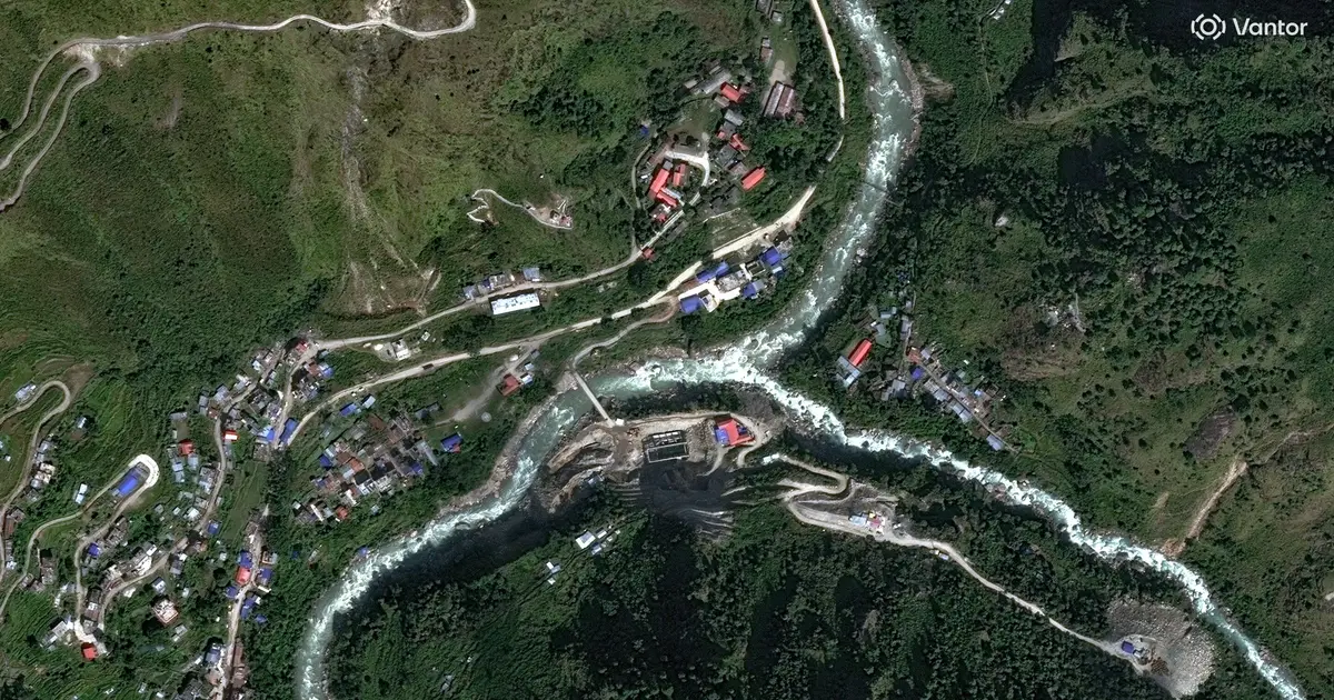
Science 
Story intelligence
Coverage Single outlet Single-outlet story
Views 32 Community interest
Brief read Under 1 min brief 28 words
AI Summary
Rescue teams are searching for missing people after catastrophic flooding along the Nepal‑China border, while Earth scientists examine satellite images to investigate the cause and assess the damage.
AI summaries can be wrong sometimes—always verify important details using the source article.
How AI & Automation are usedMore from Science
Continue reading recent Science coverage
- Heat Deaths Reach Record High: 146 Experts Call to Declare Climate Change a Global Health EmergencyContinue reading
- Millions of Mysterious Deep-Sea Eels Caught Gathering Off The Coast of TasmaniaContinue reading
- Decoding the loopy physics of hula hooping with high-tech earthquake sensorsContinue reading
- Identical vesicles, different behaviors: Model reveals how spontaneous asymmetry gives rise to lifelike behaviorContinue reading
Support HappeningNow
Independent AI-powered news analysis is reader-supported. Your contribution helps cover infrastructure, summaries, and continued platform development.
Support HappeningNow