
Science · 1 views
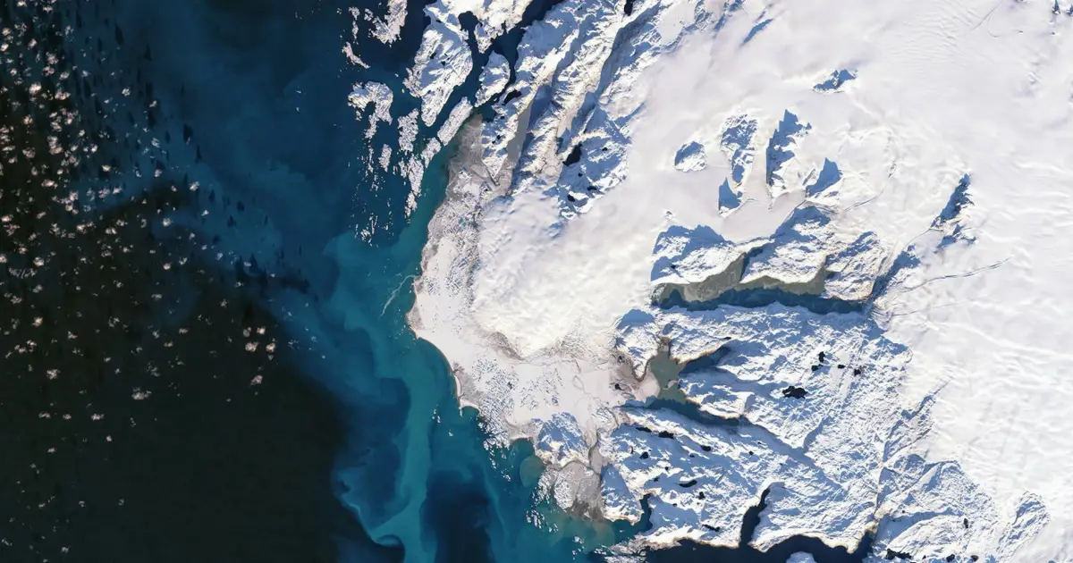
Satellite data gives clearer picture of how ice sheets are losing mass
Science 
Story intelligence
Coverage Single outlet Single-outlet story
Views 1 Community interest
Brief read Under 1 min brief 33 words
Summary
The longest satellite record ever compiled shows the vast majority of ice loss from Greenland and Antarctica is due to glaciers flowing faster, rather than warmer air temperatures melting them at the surface
AI summaries can be wrong sometimes—always verify important details using the source article.
How AI & Automation are usedMore from Science
Continue reading recent Science coverage
- Toilet pellets may help us flush less and save waterContinue reading
- Gaming the market: Research provides insights for board game industryContinue reading
- Land use and management intensity affect the suitability of habitats for wildlife in EuropeContinue reading
- A 6-nanometer vapor barrier insulates ice during rapid heatingContinue reading
Support HappeningNow
Independent AI-powered news analysis is reader-supported. Your contribution helps cover infrastructure, summaries, and continued platform development.
Support HappeningNow