
Science
Mapping wildfire risk across the US, day by day
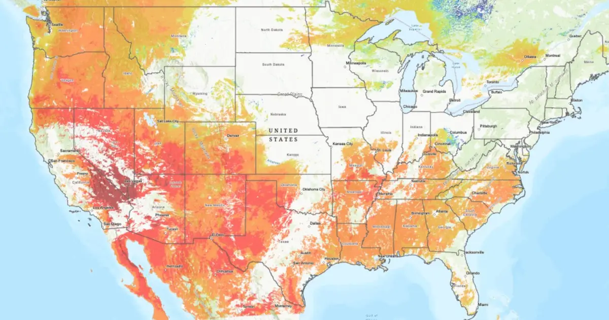
Wildfires can spread fastest when they tear through areas of dry vegetation. In contrast, vegetation that contains a lot of moisture can slow a wildfire's advance and give firefighting crews precious time to contain the blaze.

AI Summary
Scientists at the U.S. National Science Foundation National Center for Atmospheric Research are creating real‑time maps of vegetation moisture for the United States and neighboring parts of Canada and Mexico. The maps track both living and dead vegetation—referred to as “fuel” by wildfire specialists—and are refreshed on an hourly to daily schedule depending on the region. By showing where vegetation is dry versus moist, the data aim to help firefighters gauge how quickly a wildfire could spread and identify areas where containment may be more feasible. The maps are publicly accessible via a dedicated NSF NCAR website.
AI summaries can be wrong sometimes—always verify important details using the source article.
How AI & Automation are usedMore from Science
Continue reading recent Science coverage
- Europe's lab-to-market gap draws proposals from network of more than 120 scientist-innovatorsContinue reading
- Q&A: Grasslands in more diverse landscapes can suffer less from droughtContinue reading
- Why winter cold spells are getting milderContinue reading
- Biodiversity in production forests: Both costs and benefits shape the financial pictureContinue reading
Support HappeningNow
Independent AI-powered news analysis is reader-supported. Your contribution helps cover infrastructure, summaries, and continued platform development.
Support HappeningNow