
Science
High-tech canopy maps reveal how tropical birds use Amazon forests
Tropical forests may look like a uniform sea of green from above, but new research shows that carefully measured differences in forest structure and function can help explain how birds use existing habitats, how they respond to threats…

AI Summary
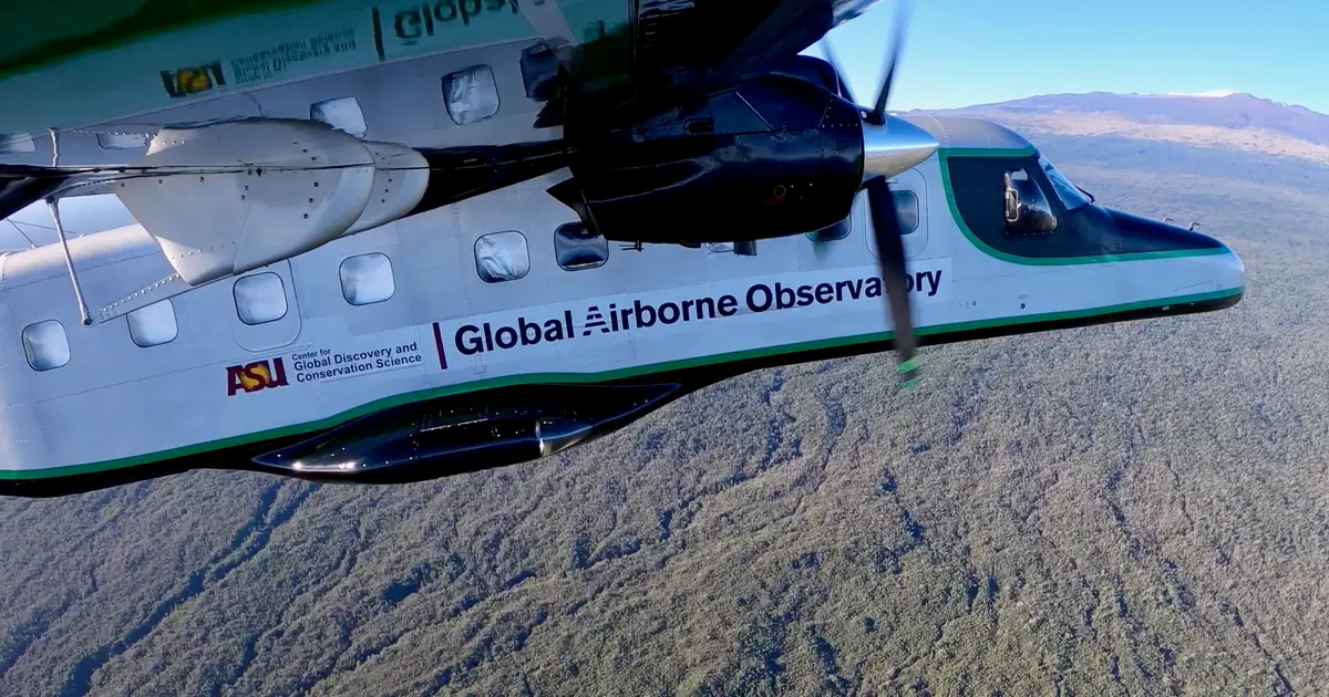
Researchers used aircraft-mounted sensors to map chemical and structural variations in forest canopies across Peru, revealing how these subtle differences influence tropical bird habitat use, threat responses, and vulnerability to forest changes. The high‑tech canopy maps show that non‑uniform forest structure helps explain which bird communities may be most at risk as habitats shift.
AI summaries can be wrong sometimes—always verify important details using the source article.
How AI & Automation are usedMore from Science
Continue reading recent Science coverage
- Mathematician discovers rare eight-faced shapeContinue reading
- Bacteria suspected in deaths of hundreds of baby whales off ArgentinaContinue reading
- It's been an intense hurricane season in the Pacific and there's still a long way to goContinue reading
- Cosmic lockdown: How the environment can isolate quantum fieldsContinue reading
Support HappeningNow
Independent AI-powered news analysis is reader-supported. Your contribution helps cover infrastructure, summaries, and continued platform development.
Support HappeningNow