HAPPENING NOW
Science · 1 views
Block-by-block AI maps uncover real urban air temperatures across 380 U.S. cities
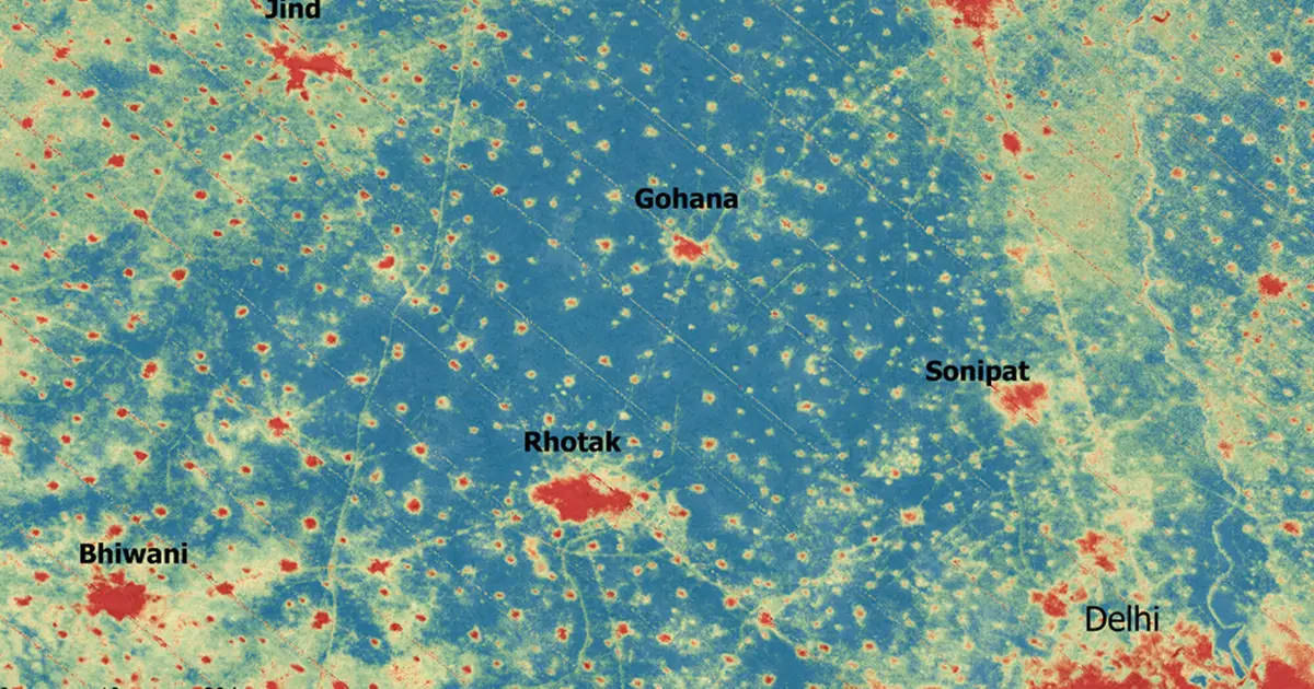
Cities are often described as "heat islands," with media reports warning that some neighborhoods can be 20° F (7° C) hotter than others.

AI Summary
Cities are often described as "heat islands," with media reports warning that some neighborhoods can be 20° F (7° C) hotter than others. But those temperatures are often based on satellite data rather than the conditions people actually experience, due to the dearth of near-surface urban observations. This data gap hinders understanding public health risks during heat waves, planning for energy demand, infrastructure resilience, and climate adaptation.
Read full article on PHYSAI summaries can be wrong sometimes—always verify important details using the source article.
Enjoyed this article? Consider supporting HappeningNow to help keep independent AI-powered news analysis moving forward. Your contribution helps cover infrastructure, AI summaries, and continued platform development.
Support HappeningNow