
Science
Aerial maps reveal successful woodland expansion in Scotland's Cairngorms
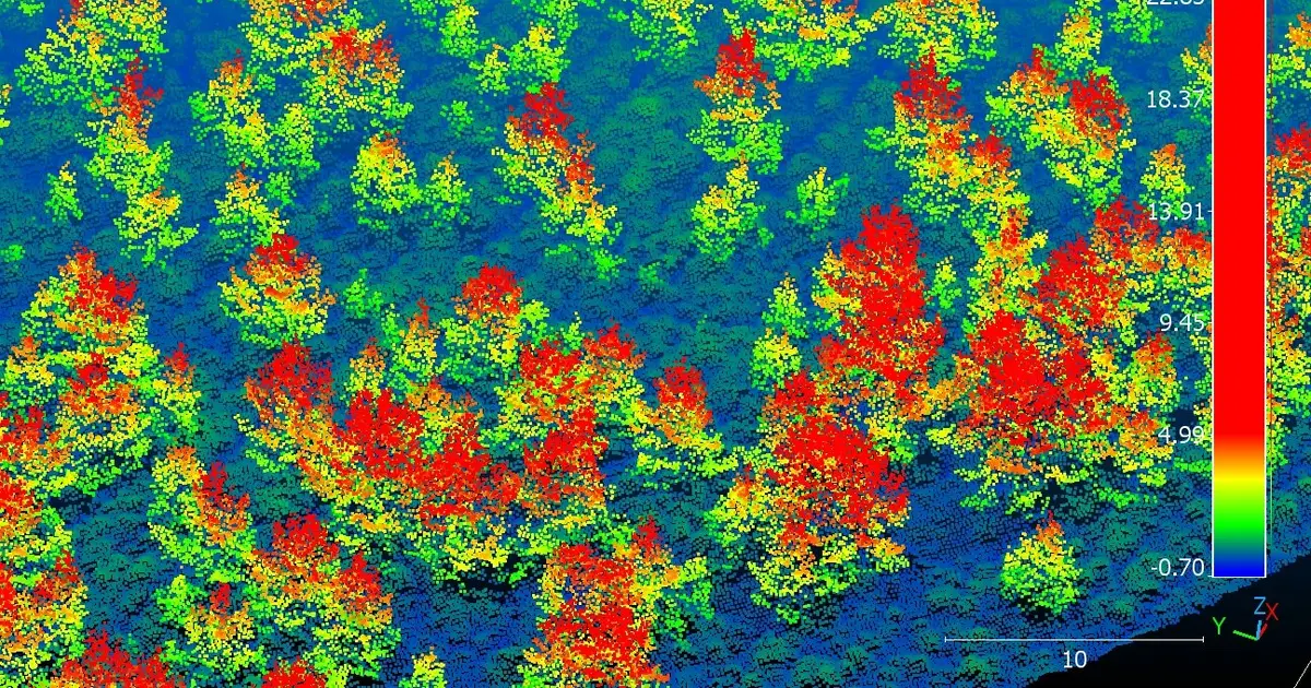
A University of Cambridge–led team has used aerial surveys across a huge swath of the Cairngorms National Park in Scotland to create detailed 3D maps that show the beginnings of large-scale recovery of native woodland.
Science 
Story intelligence
Coverage Single outlet Single-outlet story
Views New Be the first to read
Brief read Under 1 min brief 27 words
AI Summary
A University of Cambridge–led team used aerial surveys to produce detailed 3D maps of the Cairngorms National Park, revealing the early stages of large‑scale native woodland recovery.
AI summaries can be wrong sometimes—always verify important details using the source article.
How AI & Automation are usedMore from Science
Continue reading recent Science coverage
- More REM sleep linked to lower risk of 83 diseasesContinue reading
- Study reveals how communication sequence strengthens green persuasionContinue reading
- In House primaries, organized groups may matter more than votersContinue reading
- Across southwest China and Thailand, plant turnover and nematode body width help explain soil diversityContinue reading
Support HappeningNow
Independent AI-powered news analysis is reader-supported. Your contribution helps cover infrastructure, summaries, and continued platform development.
Support HappeningNow