Science · 2 views
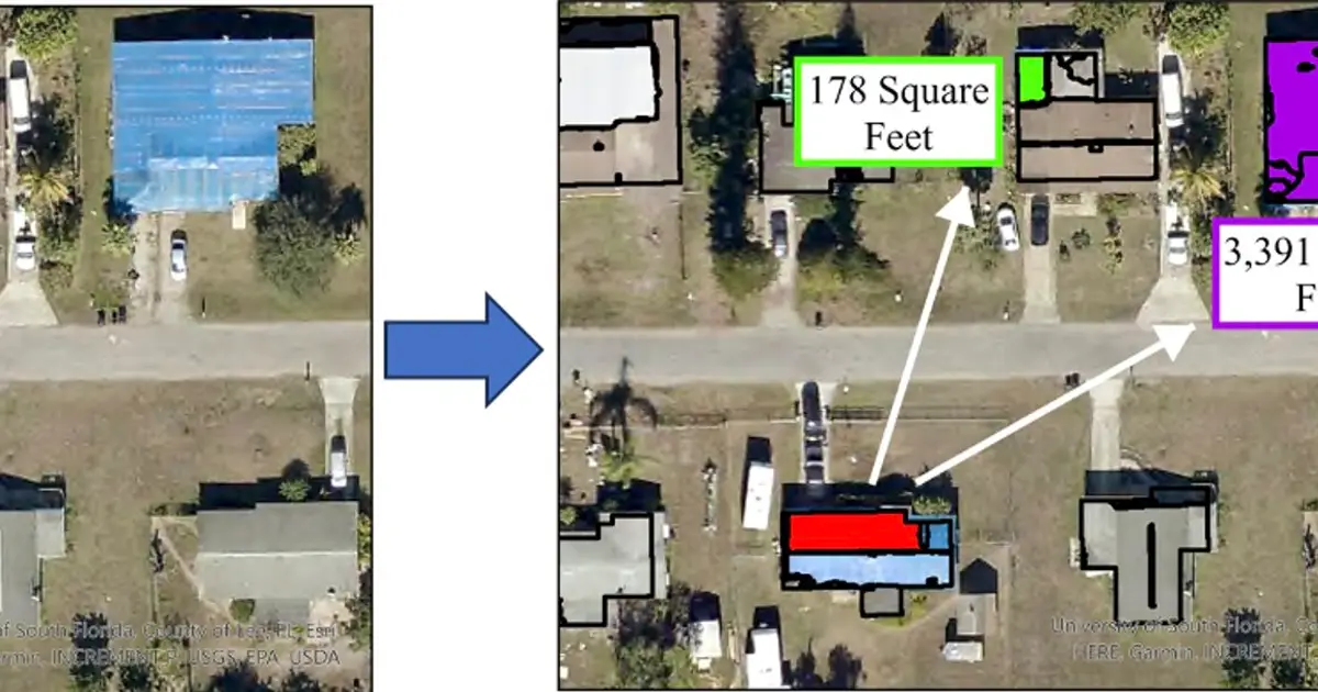
Aerial imagery maps hurricane wind damage and shows stronger building codes work
This article has been reviewed according to Science X's editorial process and policies .
Source Phys.org Story Brief Updated 44m ago
Science 
Story intelligence Beta
Confidence Limited Single-outlet story
Views 2 Community interest
Read time 1 min ~66 words
Story Brief
Massive storms like Hurricane Katrina in 2005, which caused more than $100 billion in damage, were once considered lifetime events. Increasingly, however, they are becoming the norm: a direct result of climate change, which has made large storms more frequent, intense and slower-moving, deepening their impact.
Read full article on PHYSAI summaries can be wrong sometimes—always verify important details using the source article.
How AI & Automation are usedMore from Science
Continue reading recent Science coverage
Support HappeningNow
Independent AI-powered news analysis is reader-supported. Your contribution helps cover infrastructure, summaries, and continued platform development.
Support HappeningNow